Walking the Edgemont Escarpment
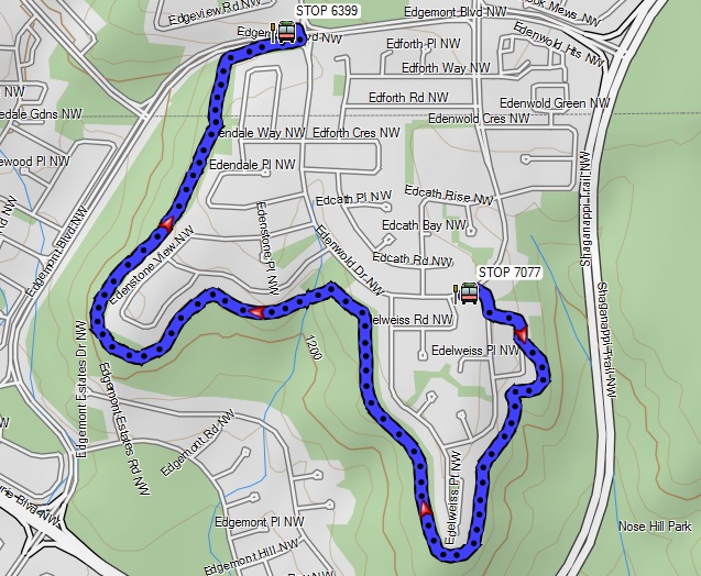
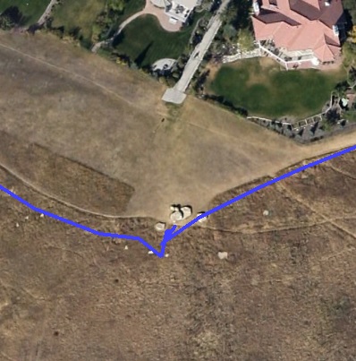
IntroThis is a walk that we do a lot, since we live in the area. Today, though, we were inspired by a new book by David Peyto, Calgary LRT Walks: The Northwest Stations". Our goal was to match his suggestion for this walk, the third associated with the Dalhousie Station. So our track will show his route - our complete route varied somewhat, because it included access to and from our house. This walk basically goes outside the Edelweiss, Edenstone, and Edendale sections of Edgemont, along the top of the hill. There are good views of downtown and of the mountains, on a good day. Today, though, featured a lot of fog in the distance, at least during the first part of our walk. Above us was a clear blue sky, as the photos below will show. First, our mapping software showing our track.
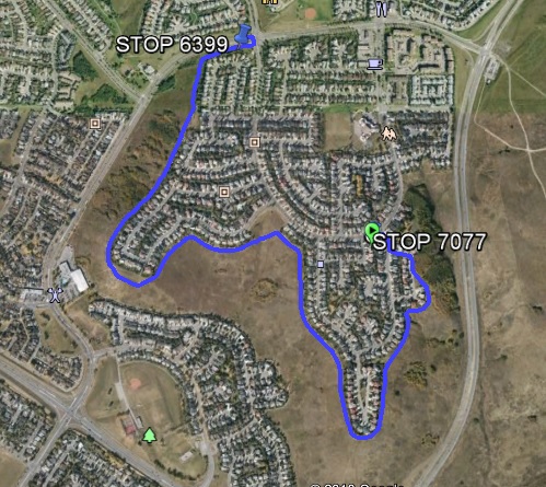
The Google Earth view of our track.
|
|
Here are some views from our walk.
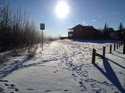
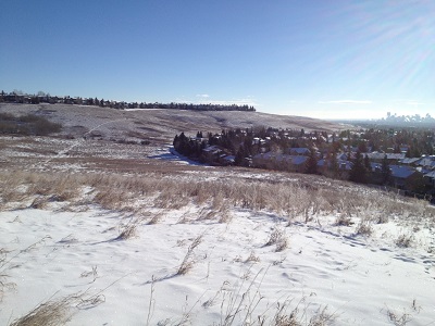
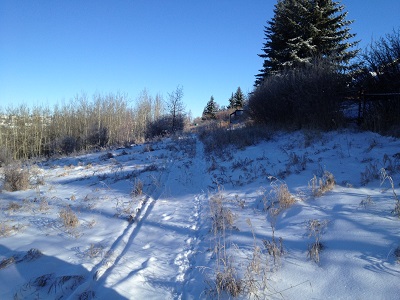
This shows the approach to the path from Edelweiss Cres. It is a fairly casual dirt path, probably originally created by the deer in the area, and now well used by humans and dogs. Maybe some day the city will recognize that it is a popular path and pave it. But for now, it's a dirt path.
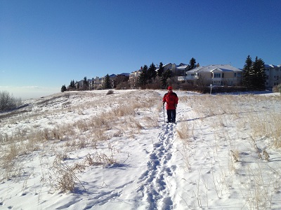
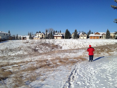
Heading south along the east side of the Edelweiss portion of Edgemont.
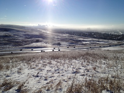
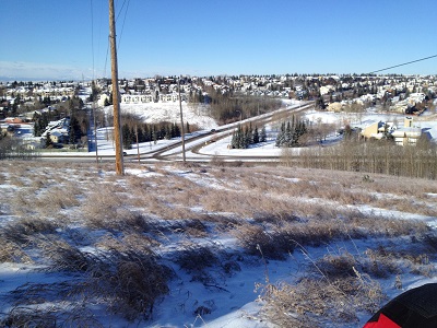
Shaganappi Trail, John Laurie Blvd, and downtown in the distance.
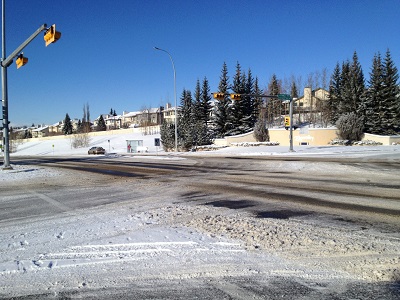
The intersection of Shaganappi Trail and John Laurie Blvd.
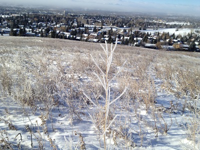
Shrub branches with ice, thanks to the blizzard yesterday.
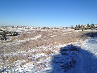
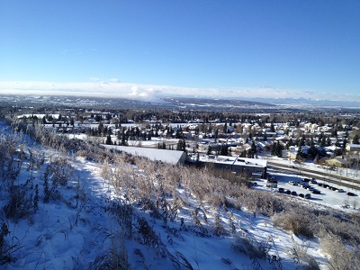
That row of houses off in the distance to the west is in the Edenstone portion of Edgemont. We will be walking alongside them, aiming for the corner near the left edge of the photo.
This is one of our usual decision points. If we go right here, we are one house away from Edenwold Drive, which leads to home.
Or we can go left, down the hill, up the hill, and get to the Edenstone section. Today we went left.
This is looking back at our decision point, showing our path from those spruce trees. The houses on the left portion of the photo are on Edenwold Drive.
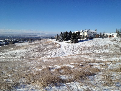
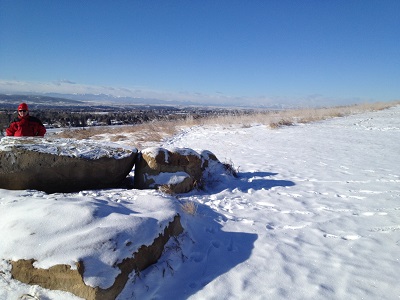
Heading to the southern tip of the Edenstone section, we come upon the big rocks.
Even Google Earth shows those rocks.
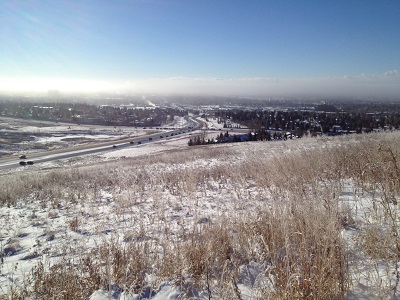
Looking back from the big rocks you can see downtown and the southern tip of the Edelweiss section. Yep, we've come that far.
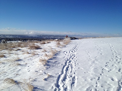
Off in the distance, we can see the mountains to the west.
To the south, there is a huge cloud coming out of Canada Olympic Park - they must be making snow today.
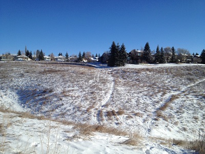
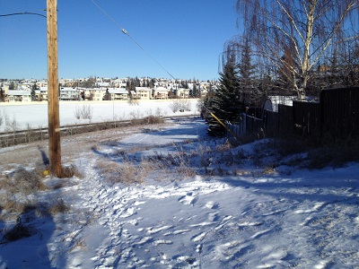
Heading north along the western side of Edenstone/Edendale. Off in the distance, straight ahead, you might be able to spot a green utility box. That's a landmark for us.
Here we are at the green utility box. There are three options. One is to go straight ahead, following the houses to Edgemont Blvd. This is what David Peyto suggests in his book.
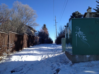
Another is to go down the hill to the 3-way stop by the Fire Station. From here there is easy access to the bike path in the Edgemont ravine.
The third option, and our usual one, is to head directly east from the green utility box, following the power lines to take us home.
The terminating point for Peyto's walk is that bus stop, at the corner of Edgemont Blvd and Edenwold Drive.
|
| This is one of our favorite walks - in summer, we do it 2-3 times per week. The loop terminating at our house is about 5 kms, a really nice stroll. |